Total Distance: 5 km
Return Time: 1.5 hours
Elevation Gain: 390 m
Difficulty: Easy
Region: White Pass
Traditional Territory: CTFN, TRTFN
In the winter, Summit Creek Hill is a great place for beginner backcountry skiing. The route to the top is fairly short, follows simple terrain, and offers a fantastic view of the surrounding area.
Drive towards Skagway on the South Klondike highway. About 7.5 km after Canada Customs (Fraser, BC) there is a pull-out on the east (left) side of the highway. The pull-out is just after a bridge on the highway.
Only the winter route has been recorded.
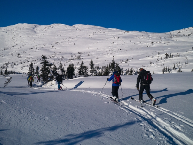
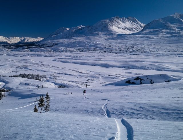
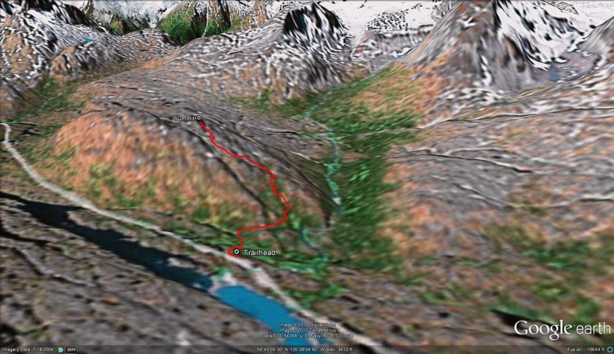
From the pull-out, cross the highway and head towards the base of the hill. The Summit Creek canyon will be on your right (north) about 1 km away (you won't notice it from the starting elevation). At the base of the hill, head slightly towards your right (north) to reach a broad, gentle ridge which you can follow most of the way to the top. Try to stay out of any gullies along the way, which could be potential terrain traps.
Snowshoeing - The snow can get quite deep here at times, making you really work to get to the top. After strong winds, the snow usually forms a crust which is easier to stay afloat on. The time indicated here is for skiing. If you are snowshoeing, add about another hour to the total trip time.
Backcountry Skiing - This is a great place to learn backcountry skiing or as a backup when the conditions turn nasty. There are a few convex features and gullies to watch out for, but these can be easily avoided.
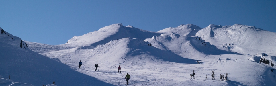
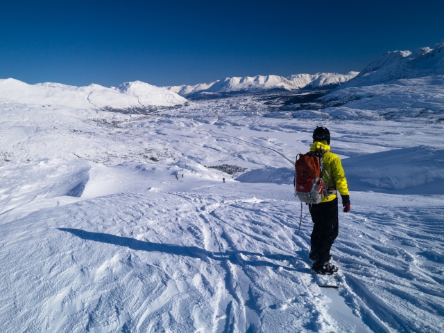
The start of the route, heading towards the base of the hill. The route starts from the right of the hill and ends up on the top left.
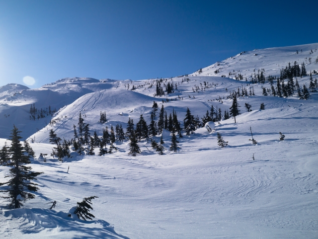
The terrain is not very steep, which makes it a good choice for learning or when the conditions aren't great.
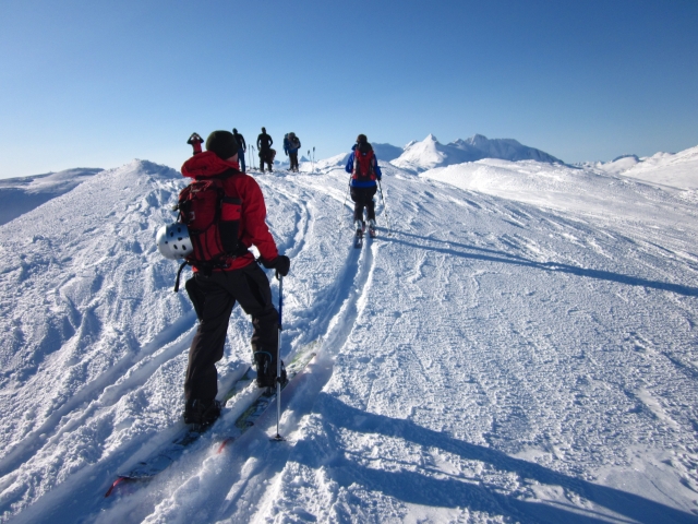
Nearing the top, with the pyramid shaped Feather Peak in the background.
Heading down for a run with a beautiful sweeping view.
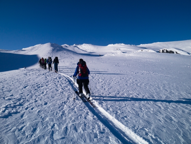
Fresh tracks on the gentle slope.
There is plenty of room to get in some safe turns.
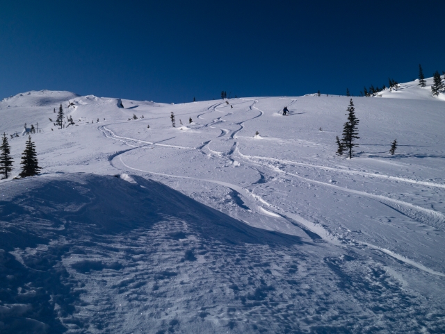
An interesting array of bumps and gullies.
kyliestravel January 30, 2018
tried doing this ski on saturday afternoon. Ifinally found where to go to avoid the huge canyon. Was tricky to find since the only people who had toured here, seemd to have stuck to the right of the river. Anyway, didn't get up so high, as had spent some time trying to find the right way. Hoping to get the opportunity to do it again, so can actually get some turns and enjoy them.
