Total Distance: 6 km
Return Time: 1.5 hours
Elevation Gain: 39 m
Difficulty: Easy
Region: Kluane
Traditional Territory: CAFN
This trail is a pleasant flat walk along the Dezadeash River Valley in Haines Junction, with great views of the Auriol Range and nice boardwalks and interpretive signage along the way. The trail would be great for anytime of year, including for cross country skiing/nordic touring or fat tire bike riding in the winter.
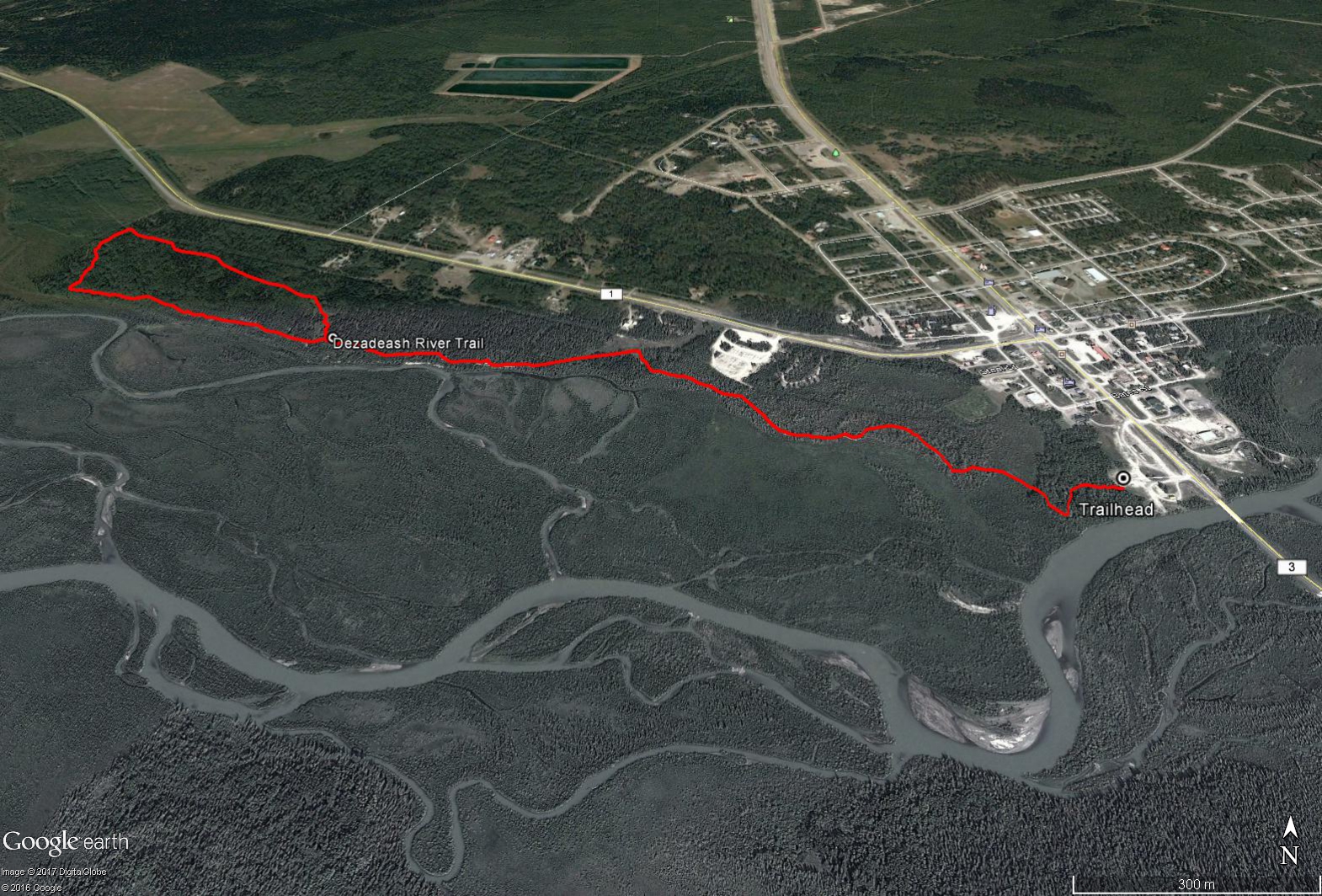
From within Haines Junction drive south from town, past the turnoff to the Alaska Highway, as if you were continuing to Haines, Alaska. At the edge of town before crossing the Dezedeash River bridge there is a large open grassy parking area on the right with some old buildings. Park here and there will be a large trail sign with a map and some outhouses at the trailhead.
The trail is wide, flat and well maintained along the entire way. There is a small loop at the end of the trail which provides some variety to the 'there and back' style trail.
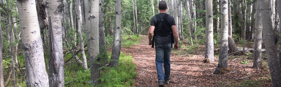
The trail passes through poplar forests, wetlands and spruce forests with boardwalks provided over any wet areas. There are many nice view points along the way of the Auriol Mountain Range to the south and great opportunities for birding as well.
Follow the main trail for most of the way, you'll pass by a large wooden viewing platform with two levels after the 1.6 km mark. At this spot there is a less defined trail that leads to the right away from the river valley, you can ignore this and stay on the main trail. The actual fork in the trail lies at about the 2 km mark, where you can follow the loop. Once you've completed the loop you can continue back the same way.
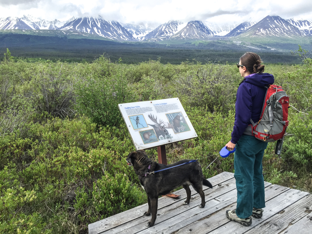
Checking out the many interpretive signs and enjoying the views of the Auriol Range.
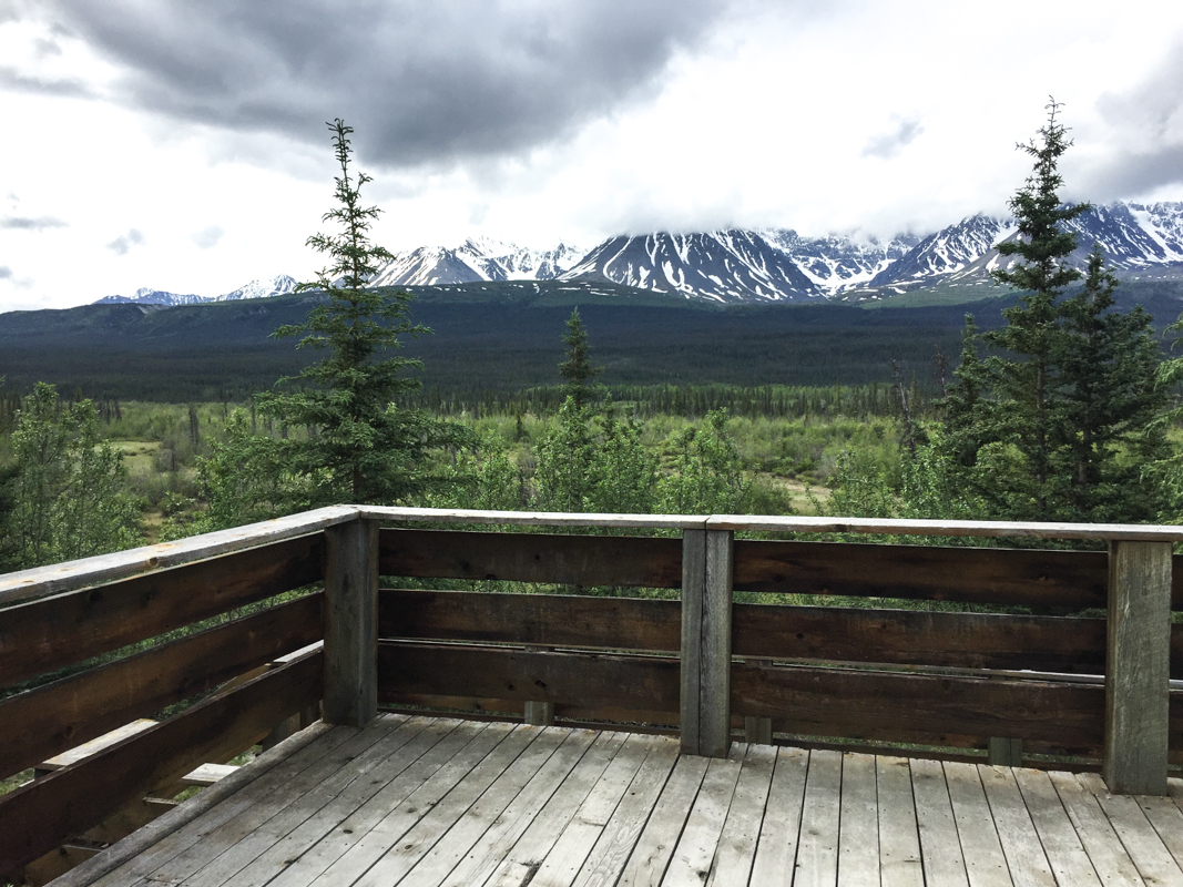
The view from the raised viewing platform, around KM 1.6 of the trail.
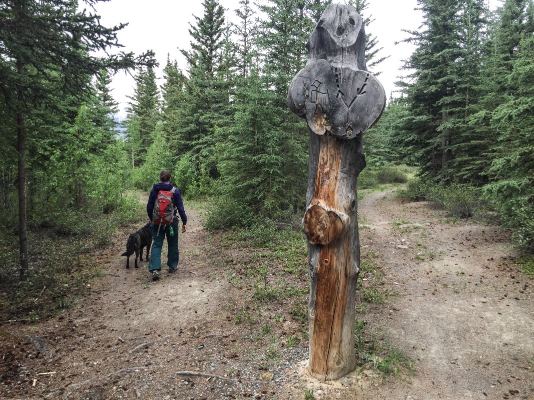
The fork in the road at KM 2.
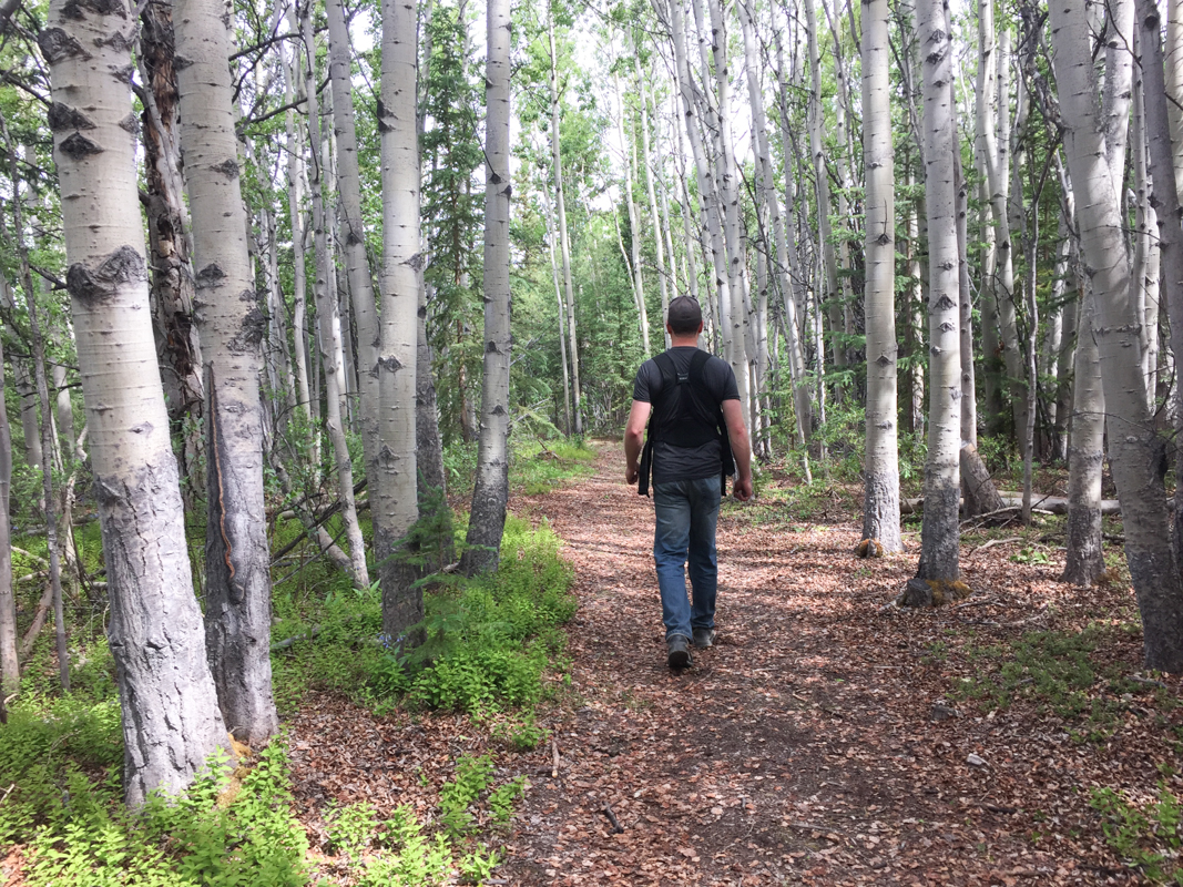
The trail takes you through a variety of vegetation types including aspen parkland, young and mature spruce forests, and wetlands.
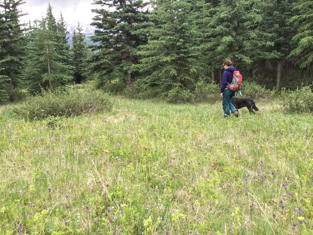
Hiking through one of the wildflower meadows.
Yukon Hiking November 15, 2024
We skied the trail on November 10th. The trail was snow covered and already packed down. It was a beautiful quick little outing.
Aaron Weber July 1, 2024
Fun little walk through the woods! We had a morning to kill waiting on a flightseeing tour so we walked this trail on June 27. Well used and well signed, good for all ages. Bring your bug spray though!
Diana September 3, 2021
Completed this hike in early September. We didn’t have much time and decided to cut the trail short by starting from behind Kluane RV Kampground. The RV campground is deserted and there is a parking lot for the trail to the right side of the campground. It’s only 3.5 km round trip if started from there. I think it was a bad idea, as this cut out on many of the views. The whole trail was in the forest. I would definitely do the whole round trip next time, as stated on this website.
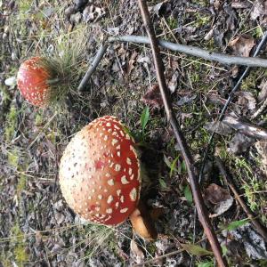
Saw tons of very large mushrooms, including Amanita and Slippery Jack. Also saw a few trees marked with black bear claws and fur.
The two story viewing platform is degrading, and it was closed off with tape. We went up for a view anyway.
Overall, a very pleasant and relaxing hike.
Natalia July 28, 2019
This is a walk, not an actual hike. You walk parallel to the river but you only see it at the beginning. Since you are walking among trees and a marsh be prepared for the mosquitoes.
Alexis Hubbard July 7, 2018
This was a beautiful hike, I enjoyed the breath taking views and I definitely recommend to anyone who wants to start first time hiking.
