Total Distance: 7 km
Return Time: 3-4 hours
Elevation Gain: 537 m
Difficulty: Moderate
Region: Tombstone
Traditional Territory: THFN
A lesser known hiking route in Tombstone Territorial Park, but well worth the consideration. Mount Boyle is a hikers dream with mostly tundra walking the whole way. The route crosses a short section of tussocks, followed by a quick bushwack through willows and a leg-burning climb up to the ridge. The undulating rocky ridge is fun to hike, leading to a nice viewpoint of the peak. There is a further scramble to the actual summit of Mount Boyle if you want to add more distance and time.
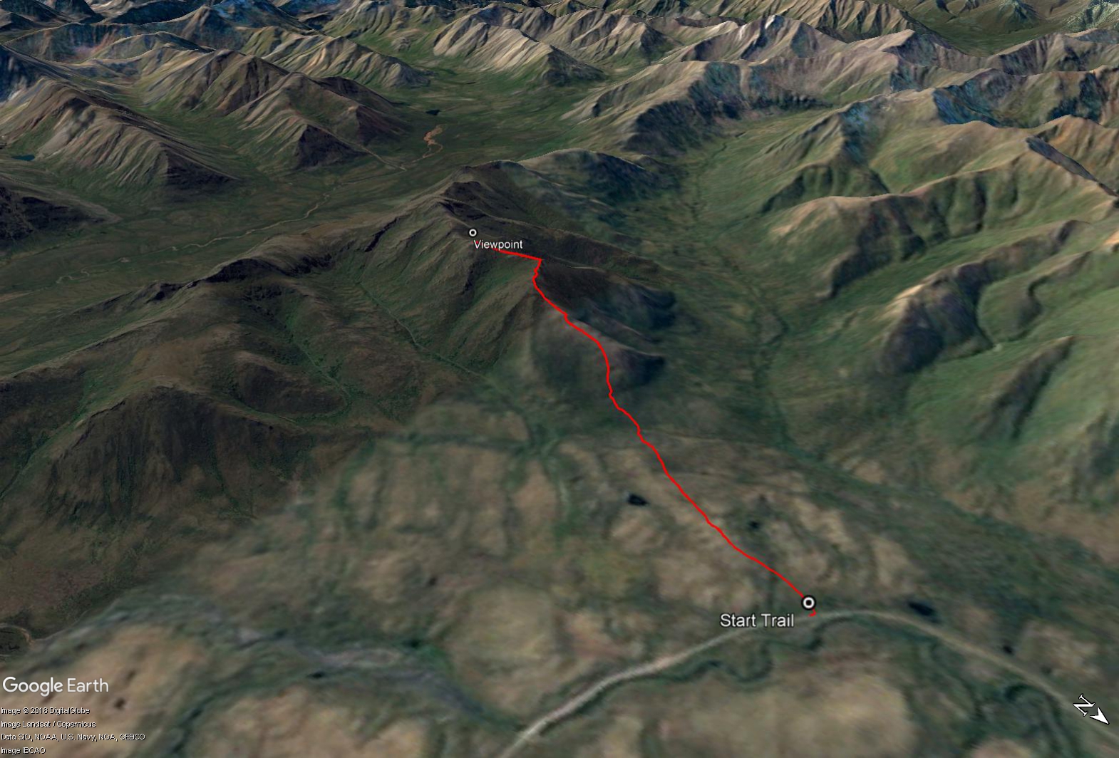
Drive to around KM 87 of the Dempster Highway, before a large bend to the right on the highway heading north. The route is just over 6 km past the Angelcomb Trailhead but about 1 km before the Mount Adney Trailhead. Park safely off the side of the highway. The route starts on the left (south) side of the highway.
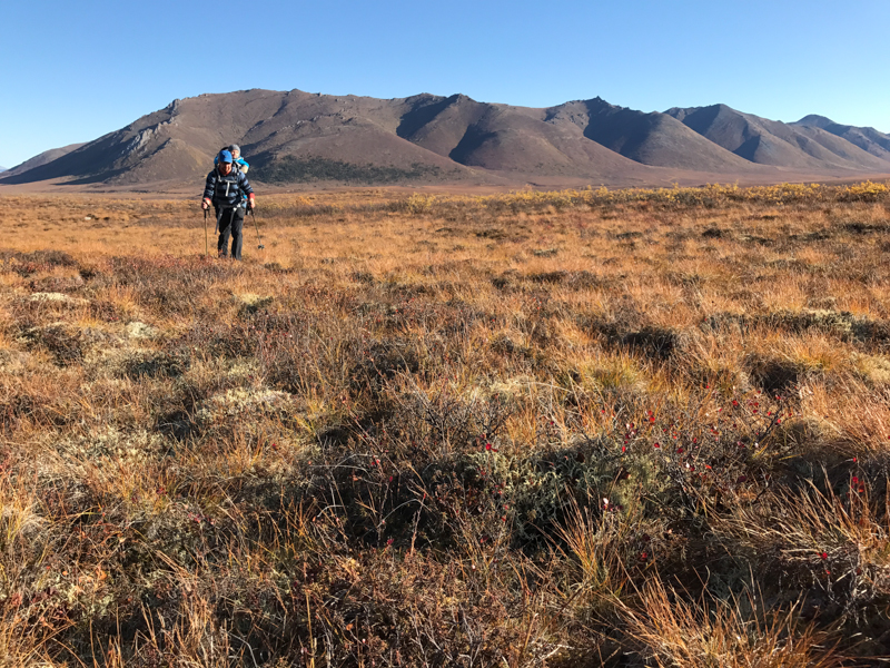
From where you park, head southwest through a short section of willows to get to the open grassy meadow. This area could be a little soggy in the spring so be warned. Shortly after reaching the meadow, you will need to get up on top of a small hill to reach the wide open tussock plateau.
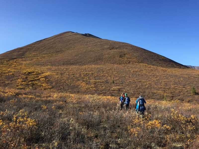
Keep heading southwest across the plateau towards the base of the ridge. You need to be heading towards the right (north) ridge of the mountain. The terrain is quite hummocky at the beginning in the tussocks, which can be hard on the ankles. Hiking poles are a big help for keeping your balance. This route provides the shortest crossing of the tussock field and you avoid crossing any main drainages. There will be one more short section of willows in a low lying area to get through before reaching the base of the mountain.
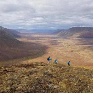
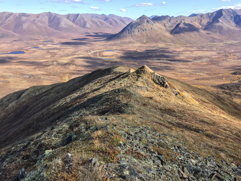
Once at the base of the mountain you can start heading up. Watch for blueberries in the late summer and fall. It is only about a 150 m climb up to the full alpine part of the ridge. From up on the ridge, there are amazing views into the Blackstone and Cloudy Mountain ranges and down the East Blackstone River Valley. Angelcomb Peak is directly east with Mount Adney to the northwest.
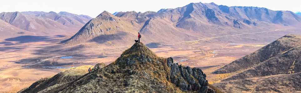
Once on the main ridge keep heading up. You can either follow along the rocky ridgeline or contour along the southeast (left) side of the ridge to avoid most of the ups and downs. This route takes you to a rocky outcrop with a viewpoint of the main rocky peak of Mount Boyle. If you want to continue to the summit, there is a further descent and then a last climb and potential scramble up to the peak. The hike to the summit would add another 1 km (return) and additional elevation gain to this route. The views would be gorgeous looking south across the next valley to Whitecrown and Cathedral Mountain.
Return the way you came up.
Hiking across the tussock plateau to the base of the mountain.
There's a short section of bushwacking through willows to reach the base of the ridge.
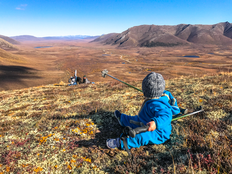
Taking a rest on the ridge, looking at the view down the East Blackstone River Valley.
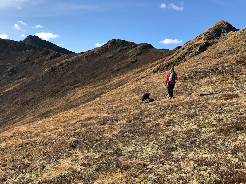
On the ridge, you can either hike up and down on the rocky ridgeline or contour along the left (southeast) side of the ridge.
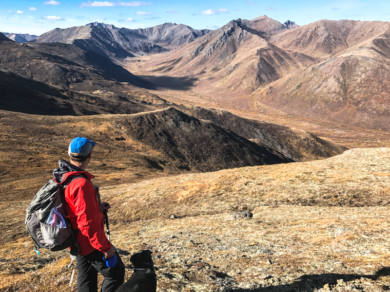
A view into the valley between Mount Boyle and Mount Adney.
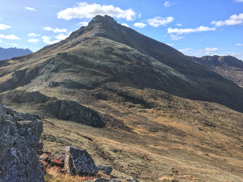
From the viewpoint there is a great view of the rocky summit of Mount Boyle. Add additional time and distance to your hike if you attempt the summit.
Easy hiking on the way down with awesome views towards Sheep Mountain and Yakamaw Creek.
Kyle September 3, 2019
Great hike to get in the yukon fall colours.
The first half of the hike is light bushwacking until it clears and you begin the ascent which is steep but clear.
Once you reach the summit theres tons of room to explore.
Most of the hike is soft arctic tundra ground, best done with hiking poles.
We did this hike on aug 27 which gave us nice fall colours.