Search By Map
View all trails on the mapLatest Route Update
Distance: 108 km
Elevation Gain: 4730 m (15518 ft)
Time: 7 - 9 days
Difficulty: Difficult
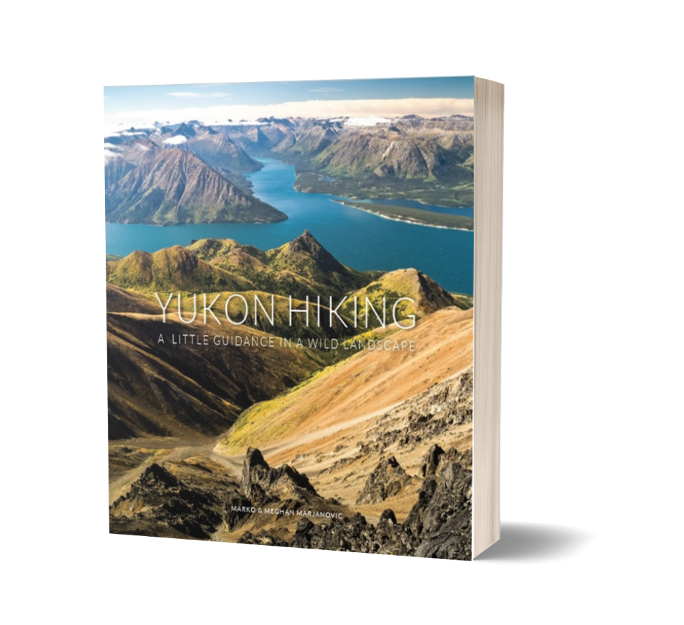
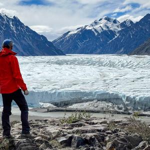
The Dän Zhùr (Donjek) route is a challenging multi-day hike that crosses a variety of terrain: tussock plateaus, mountain passes, glacier viewing and numerous creek and river crossings. The mighty Donjek Glacier near the halfway point of this route is a highlight. Weather is a major factor on this hike, which affects water levels for creek crossings.
Elevation Gain: 4730 m (15518 ft)
Time: 7 - 9 days
Difficulty: Difficult
The Dän Zhùr (Donjek) route is a challenging multi-day hike that crosses a variety of terrain: tussock plateaus, mountain passes, glacier viewing and numerous creek and river crossings. The mighty Donjek Glacier near the halfway point of this route is a highlight. Weather is a major factor on this hike, which affects water levels for creek crossings.
Recent Comments
July 22, 2024
Sophie on Becker Peak
We did this hike early July and it was amazing. We camped near the first lake and went to the summit the next day. Just be carefull not to miss the turn at 6.7km. In the description, it says "After 6.7 km from the trailhead you'll see another mining road to the right. Keep left here and continue o...
Read More
July 21, 2024
Slim Shady on Miller Ridge
This trail was overall well marked and easy to follow. As posted by YukonA (thank you!), when you come to the end of the rock slide, go left. There is a fallen tree with flag tape that looks as if it was intentionally placed to block the trail but it's the exact opposite! Cross over the fallen tree ...
Read More
July 21, 2024
Katie on The Tors
Hi Denny, I have found your red travel mug. I posted on the Happy hikers Yukon Facebook page - DM me to coordinate pickup
Read More
July 21, 2024
Slim Shady on Dail Peak
Epic hike with exceptional views the entire way! At times it was difficult to find the trail, particularly on the way down, and it can get very slippery & sketchy. We saw lots of sheep & goats in the distance. On the path that we took, we didn't come across any water sources. You would have to go do...
Read More
July 21, 2024
Whitehorse on The Tors
Someone found your red mug
Read More