Groundhog Creek
August 01, 2022 by Meghan Marjanovic
Location: South Canol Road
The South Canol Road has been on our list to explore for quite some time It is a 230 km dirt road, that takes you up through the heart of the Yukon with many great camping spots along the way. The road officially starts near Johnson's Crossing (south of Whitehorse on the Alaska Highway) and goes north up to Ross River, where it meets the Robert Campbell Highway.
The best hiking options along the South Canol Road, are at the northern end, in the more rugged and mountainous St Cyr Range of the Pelly Mountains. However, while the highway gets up there in elevation (up to 1,000 m) the area is still surprisingly lush with a lot of vegetation (aka willow and shrub birch) to get through to reach the alpine. We had heard there was a road up Groundhog Creek that took you to the alpine, so this was our best bet for some family-friendly hiking.
The Groundhog Creek Road is accessible at KM 161 of the South Canol Road. Since we didn't want to pull our travel trailer all the way up the South Canol, we decided it was easiest to come from the Robert Campbell Highway via Ross River and access the South Canol from the north end. The Groundhog Creek Road is 49 km down the South Canol Road. The drive was quite the rush, with the road in many places narrowly, contouring along the mountain sides, high above the Lapie River.
We set up a camp at a campground at one of the Lapie Lakes, and picked a sunny day to head out to the hills via the Groundhog Creek Road.
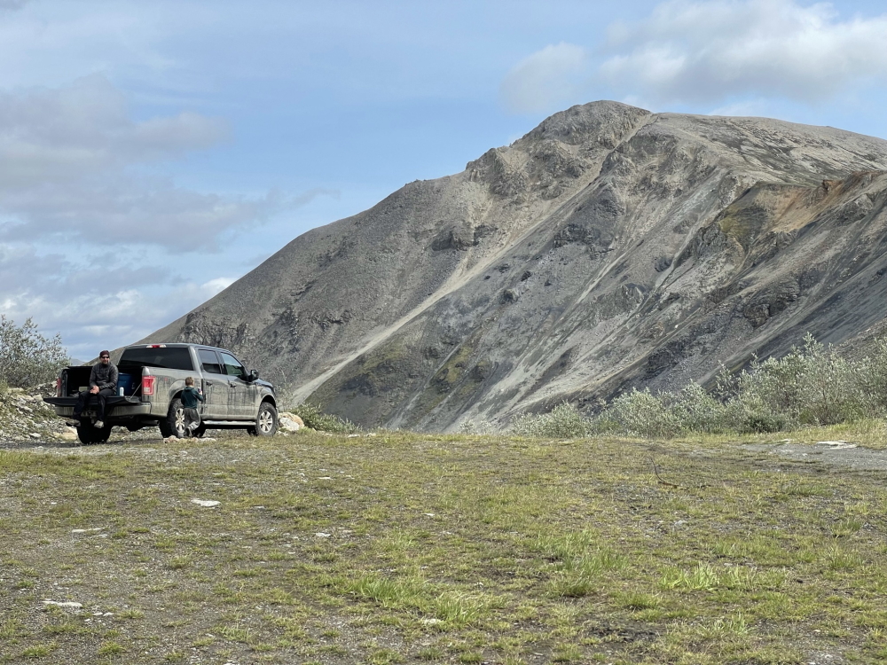
Made it to Groundhog Pass in the F150.
To reach Groundhog Pass (altitude 1,665 m) it is 13.6 km up the Groundhog Creek Road. A 4x4 vehicle is required with good clearance as there are creek crossings and steeper rocky sections of road. You must cross Groundhog Creek itself about 3 km up the road. There is an unmaintained bridge you can use at your own discretion or ford the creek in your vehicle. About 10 km up the road there is a T-junction, keep left and head up to the north. Another 1 km after this junction is another junction, keep right (following the main road).
Once you reach the pass, there is a large area to pull over, and the main road continues down to the next valley of Seagull Creek. Time to start hiking.
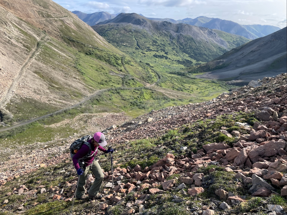
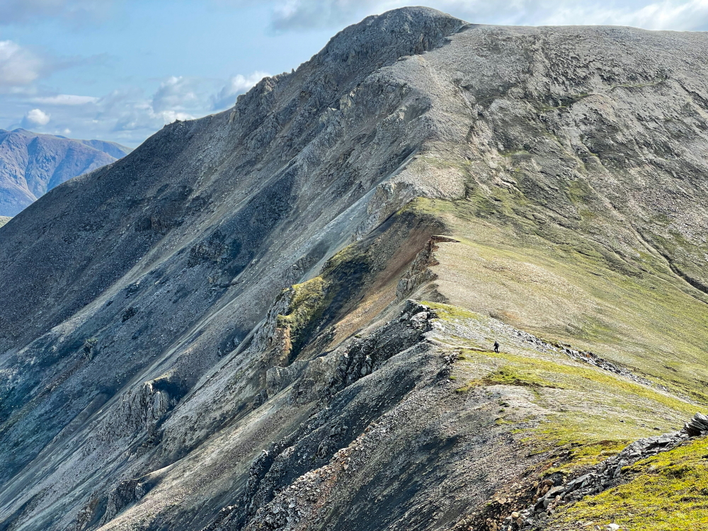
Hiking up the ridge to the south of the pass.
From the parking area at the pass, we ventured up a nice ridge to the south, which opened up opportunities for hiking a nice unnamed peak along with a few other little ridges. It's a steep but short climb up to the ridge, and about 165 m elevation gain over mainly talus with some vegetation patches. We managed with our 5-year-old in tow, he enjoys the steep stuff.
Our 5-year old enjoys the steep hikes.
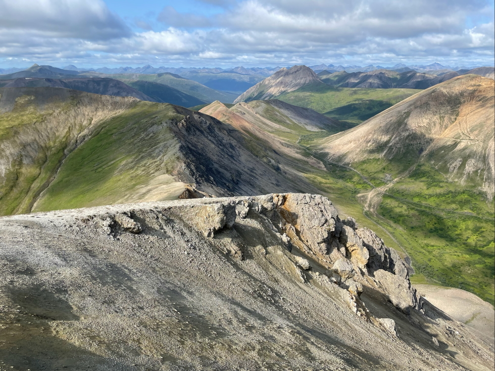
The views from 'Pride Rock' looking northeast, with the road that continues down to Seagull Creek.
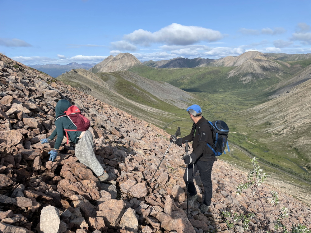
Marko made this summit in no time, and it was easier than it looked.
Views from the summit looking west (back towards the Groundhog Creek Road from which we came.
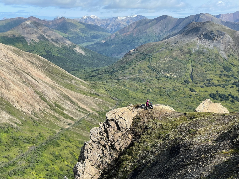
After Marko rejoined us, it was my turn to explore. I headed south on a cool little ridge to a smaller little rocky point. It was lovely alpine walking with great views towards Pass Peak, one of the only named peaks in the area.
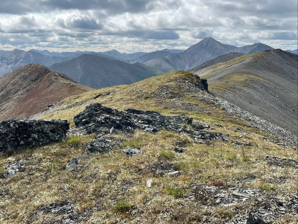
Great hiking along the ridge heading south, with the easy rocky point on the left.
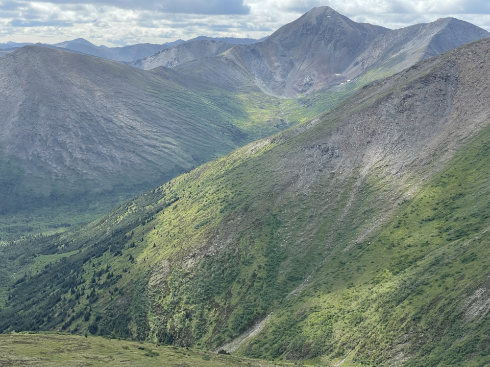
Pass Peak in the background. Maybe we will meet again some day.
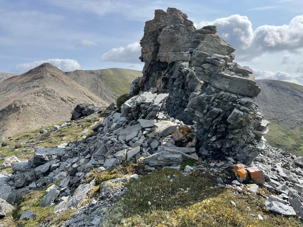
One of the Tors along the ridge to the west (view looking east).
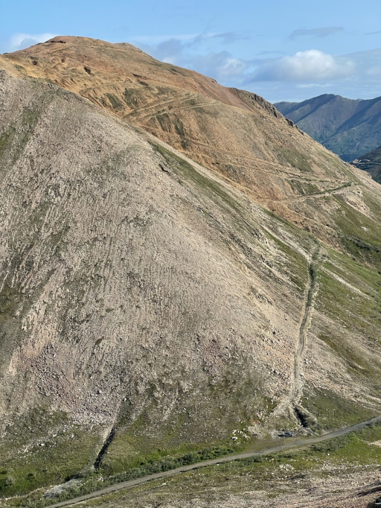
The mountain to the north of Groundhog Pass where we parked. A hike for another day.
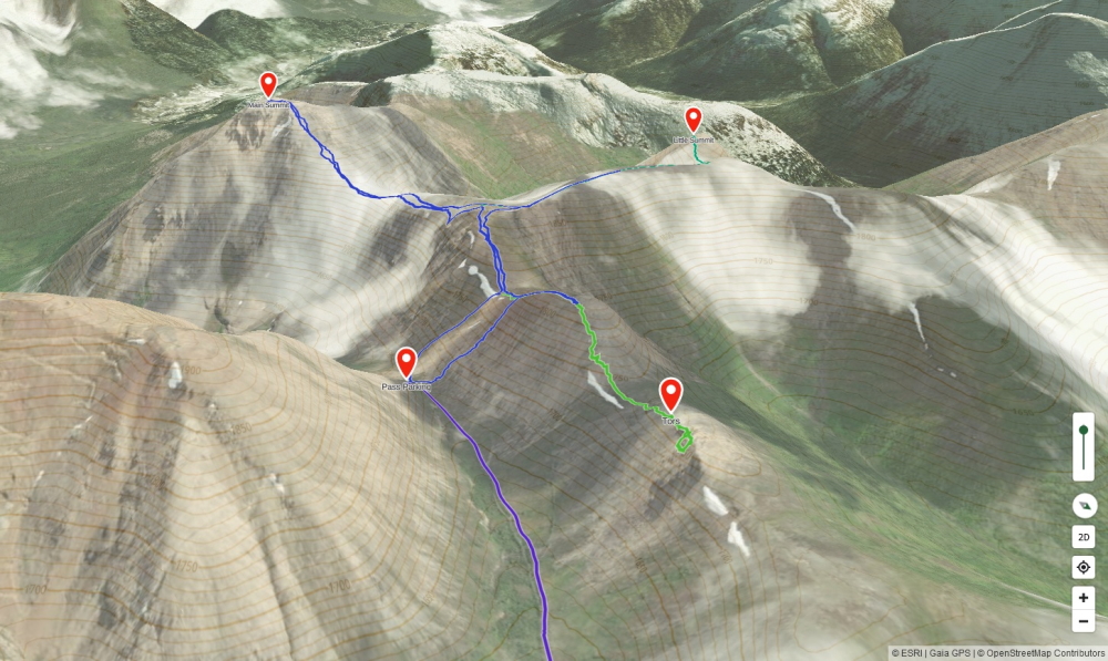
Map of some of the areas we explored.